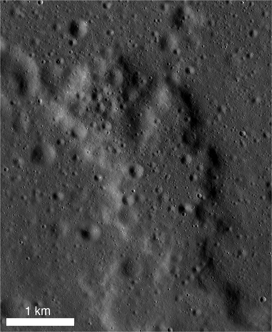
Well-defined lava flows are rarely observed on the Moon. Most lunar lavas were erupted as low-viscosity basalts with shallow flow margins that degrade over time and become indistinct due to the formation of regolith. This flow, however, in the easternmost portion of the Crisium Basin, has well-defined lobate margins and steep sides, suggesting that it is more viscous than typical basalt, either due to composition or eruption conditions.
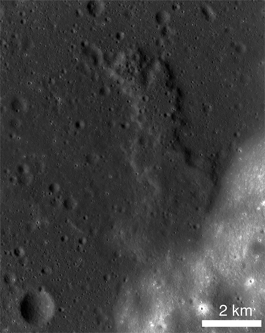
The source of the flow is located near the boundary of the highlands, although the vent is not immediately apparent. It may be a shallow depression near the head of the flow or may now be buried beneath regolith creeping down from the highlands.
Flow length is 7 kilometers, and the width decreases from more than 4.1 kilometers near the highland contact to about 1.4 kilometers at the northern end. At the contact with the highlands, the flow is about 200 meters thick, thinning to 100 meters at the northern end. The top of the flow has a convex shape in cross section; the flow does not display a central channel or levees. The flow covers about 15 square kilometers and has a volume of about 1.5 cubic kilometers.
The flow may consist of several phases. About halfway along the flow, the thickness abruptly thins by about 20 meters. Additionally, the northern part of the flow is considerably more cratered than the southern end (the older the surface, the more numerous the craters). More likely, many of the craters on the northern part are part of a field of secondary craters.
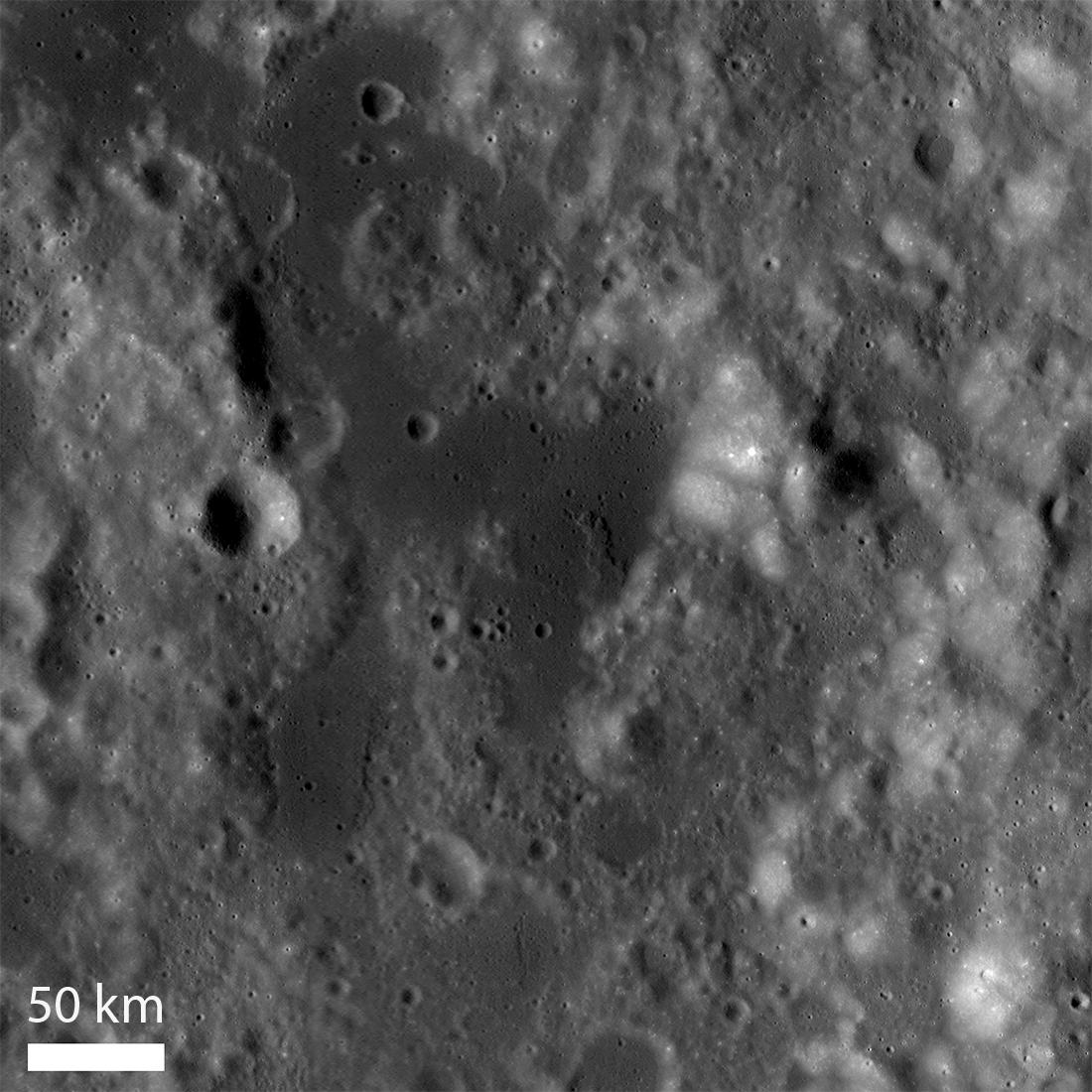
The flow occurs along the eastern margin of the Crisium Basin in a rugged area of massifs and low plains. The source vent for the volcanic rocks is unclear. Elevations of these plains are some 1.4 kilometers higher than the floor of the Crisium Basin, so the basin proper cannot be the source. There must be numerous vents, including the source for this flow, scattered throughout the region.
Published by Jeff Plescia on 2 July 2025